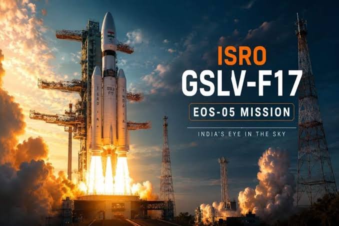
GSLV-F17 EOS-05 Launch: India’s First Geosynchronous Imaging Satellite – Complete Details

ISRO achieves another major milestone with the successful launch of EOS-05 aboard GSLV-F17. Here’s the complete story, mission details, technology, importance and applications.
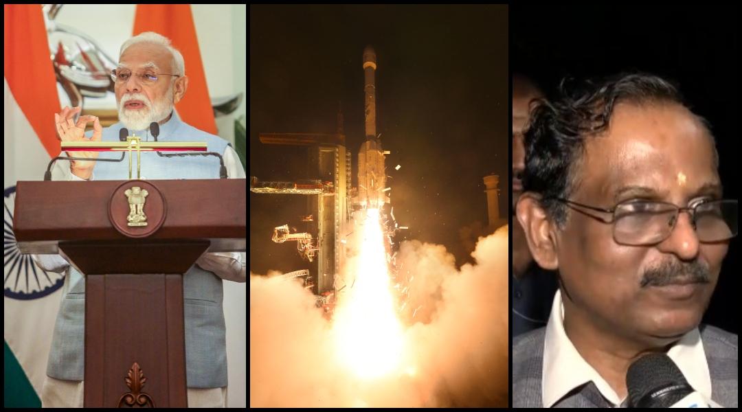
The Indian Space Research Organisation (ISRO) successfully launched the GSLV-F17 mission carrying EOS-05 on September 4, 2026. The mission marks an important development in India’s Earth-observation capabilities.
EOS-05 is especially significant because it is India’s first imaging satellite designed for operation from a geosynchronous orbit.
GSLV-F17 successfully completed its mission and placed EOS-05 into its intended transfer orbit, according to ISRO’s official mission information.
What Happened Today?
In the early hours of September 4, 2026, India’s GSLV-F17 rocket lifted off from the Satish Dhawan Space Centre in Sriharikota, Andhra Pradesh.
The rocket carried EOS-05, an advanced Earth-observation satellite developed by ISRO.
The launch was an important event for India’s space programme because EOS-05 introduces a new approach to Earth imaging from the geosynchronous orbit regime.
GSLV-F17 EOS-05 Mission: Quick Facts
What Is EOS-05?
EOS-05 is an Earth-observation satellite developed by ISRO. The EOS series forms an important part of India’s growing Earth-observation and remote-sensing programme.
Earth-observation satellites use sensors and imaging systems to collect information about the Earth’s surface and environment.
Such observations can support areas including agriculture, environmental monitoring, mapping, disaster management and other geospatial applications.
EOS-05 is not India’s first imaging satellite overall. India has operated many imaging and remote-sensing satellites before this mission.
Its major distinction is that EOS-05 is India’s first imaging satellite designed to operate from a geosynchronous orbit.

Why Is EOS-05 Special?
The key feature of EOS-05 is its intended operation from the geosynchronous orbit regime.
Many Earth-observation satellites operate from lower orbits. These satellites move around Earth and repeatedly pass over different regions.
A geosynchronous observation platform works differently. Its orbital period is matched with Earth’s rotation, allowing it to maintain a persistent relationship with a particular region of the planet.
This makes the geosynchronous approach particularly useful for frequent monitoring of large areas.
What Is a Geosynchronous Orbit?
A geosynchronous orbit is an orbit in which a satellite’s orbital period matches the rotation period of Earth.
The geosynchronous orbit region is roughly 36,000 kilometres above Earth’s surface.
Depending on the exact orbit and viewing geometry, satellites operating in this region can provide repeated and persistent observations of large areas.
Think of EOS-05 as a camera positioned very high above Earth that is designed to repeatedly watch a large geographical region.
This type of observation can be particularly useful when conditions on Earth are changing quickly.

Why Does India’s Geosynchronous Imaging Capability Matter?
India’s Earth-observation programme has already produced satellites capable of collecting valuable information about the planet.
EOS-05 adds a different orbital capability to this system. Instead of relying only on satellites that pass over a region, a geosynchronous imaging satellite can provide more persistent observation of a large area.
This can be useful when authorities and scientists need information about rapidly changing conditions.
Applications of EOS-05
1. Weather and Atmospheric Monitoring
Frequent satellite observations can help scientists monitor changing conditions over large geographical regions.
2. Disaster Management
Earth-observation data can be valuable during floods, cyclones, fires and other natural disasters.
Frequent observations can help provide a broader picture of affected areas when ground access is difficult.
3. Agriculture
Satellite imagery can support monitoring of large agricultural regions and changes in vegetation and land conditions.
4. Forest Monitoring
Earth-observation satellites can help monitor forests, vegetation and environmental changes across large areas.
5. Environmental Monitoring
Satellite observations can contribute to studies of land, vegetation, water bodies and other environmental features.
6. Mapping and Geospatial Applications
Earth-observation imagery can support mapping and geographic information systems used for planning and analysis.
What Is GSLV-F17?
GSLV-F17 is a flight of India’s Geosynchronous Satellite Launch Vehicle (GSLV).
GSLV is one of India’s important launch vehicle families, developed to place heavier spacecraft into geosynchronous transfer and related orbits.
GSLV-F17 is the 19th flight of India’s GSLV.
The mission used the GSLV configuration with a four-metre-diameter composite ogive payload fairing.
How Did GSLV-F17 Carry EOS-05 Into Space?
GSLV-F17 lifted off from Sriharikota carrying EOS-05.
The launch vehicle accelerated upward through Earth’s atmosphere.
The launch vehicle’s propulsion stages performed their planned functions to provide the required trajectory and velocity.
EOS-05 was separated from the launch vehicle after reaching the required transfer trajectory.
The spacecraft can then undergo orbital manoeuvres required to reach its operational geosynchronous orbit.
EOS-05 and India’s Earth-Observation Programme
India has developed an extensive Earth-observation programme through decades of satellite missions.
These missions have supported applications related to remote sensing, mapping, agriculture, natural resources, environmental studies and disaster management.
EOS-05 adds a new dimension to this programme by bringing geosynchronous imaging capability into India’s Earth- observation architecture.
EOS-05 vs Conventional Earth-Imaging Satellites
| Feature | Typical Lower-Orbit Imaging Satellite | EOS-05 Approach |
|---|---|---|
| Orbit | Usually operates in a lower Earth orbit | Designed for geosynchronous operation |
| Observation Pattern | Passes over a region at particular intervals | Designed for more persistent observation of a large region |
| Coverage | Useful for detailed observations during satellite passes | Broad-area and frequent observation capability |
| Main Strength | High-resolution Earth observation depending on the mission | Persistent regional monitoring |
Why Is Today’s Mission Historic?
The historic importance of EOS-05 is not because India has never launched an imaging satellite before.
India has operated several Earth-observation and remote- sensing satellites over the years.
The important milestone is the successful deployment of India’s first imaging satellite designed for operation from a geosynchronous orbit.
This provides India with another powerful tool for observing large regions of Earth more frequently.
How EOS-05 Could Help During Disasters
During a disaster, information must often be collected quickly.
Satellite imagery can provide a broad view of affected areas and can be especially useful when roads or ground infrastructure are damaged.
Frequent observations can help agencies understand how conditions are changing and support assessment and planning.
What This Mission Means for India’s Space Technology
The GSLV-F17 / EOS-05 mission demonstrates India’s continuing efforts to expand its capabilities in launch vehicles, spacecraft and Earth observation.
India’s space programme now covers a wide range of missions, including communication, navigation, scientific research, weather observation and Earth observation.
EOS-05 strengthens this wider space infrastructure by adding a new geosynchronous imaging capability.
Where Was GSLV-F17 Launched From?
The launch took place at the Satish Dhawan Space Centre (SDSC-SHAR) in Sriharikota, Andhra Pradesh.
Sriharikota is India’s principal spaceport and has hosted numerous launches of Indian satellites and launch vehicles.
When Was GSLV-F17 Launched?
The GSLV-F17 carrying EOS-05 lifted off on September 4, 2026 at 2:55 AM IST.
ISRO reported that GSLV-F17 successfully accomplished the mission and placed EOS-05 into its intended orbit.
What Happens After the Launch?
Reaching the initial transfer orbit is only one part of a geosynchronous satellite mission.
Following separation from the launch vehicle, the spacecraft undergoes orbital and commissioning activities before beginning regular operations.
During this phase, spacecraft systems are checked and the satellite is prepared for its operational mission.
Why Earth Observation Matters to People
Space technology can have a direct impact on life on Earth.
Earth-observation satellites can provide information that supports agriculture, environmental monitoring, mapping, weather analysis and disaster management.
This means that a satellite mission like EOS-05 is not simply about taking pictures from space. It is part of a larger system for collecting useful information about our planet.
🚀 Key Takeaways
- Mission: GSLV-F17 / EOS-05
- Launch Date: September 4, 2026
- Launch Time: 2:55 AM IST
- Launch Site: Satish Dhawan Space Centre, Sriharikota
- Organisation: ISRO
- Payload: EOS-05
- Mission Type: Earth Observation
- Major Milestone: India’s first imaging satellite designed for geosynchronous operation
- Mission Status: Successfully accomplished
Final Words
The successful GSLV-F17 / EOS-05 mission is another important milestone in India’s space journey.
EOS-05 brings a new geosynchronous imaging capability to India’s Earth-observation programme, allowing the country to strengthen its ability to monitor large regions of Earth more frequently.
Its potential applications range from environmental observation and agriculture to disaster management, mapping and other geospatial activities.
More importantly, the mission demonstrates India’s continuing progress in developing indigenous launch vehicles and increasingly advanced spacecraft.
GSLV-F17 and EOS-05 are another reminder of how India’s space programme continues to expand its capabilities and explore new possibilities from orbit.
Primary mission information: Indian Space Research Organisation (ISRO)
Image references supplied for this article: International Business Times India, The Financial World and India Today.
This article uses the supplied news-image references and official mission information for factual details.
📝 This article was researched and written by Venkatesh A, Founder of verakworld.com.